Tuesday, August 12th, 2025
Thames Valley Street Series #14 Hill End
Jersey Channel Islands
Details
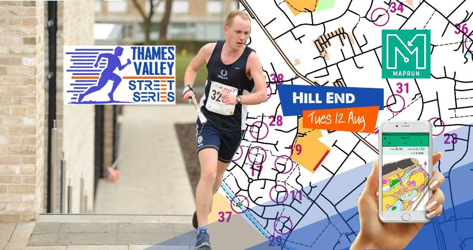
This is the 14th race in our Thames Valley Street Series - you don't need to have attended the previous ones; it's open to all, so give it a go! For this race, we head to Hill End, West of Oxford. It's an exciting race with a twist around the paths, open areas and woodland. There are no set routes to the courses and you have to find your own way around a series of checkpoints, as fast as you can, using a special map. *Entries close at 14.00 on the day of the event.* *Please try and enter as soon as possible, preferably by the Saturday before the event. This helps us estimate map numbers.* It's only £3 to enter! Pre-entries only, via RaceSignUp, here: https://racesignup.co.uk/thames-valley-street-series Website details, here: https://tvoc.org.uk/events/tvss-event-13-east-oxford-woods/ ============================ LOCATION Hill End Camp, Eynsham Rd, Cumnor, Oxford OX2 9NJ. We'll arrange for a social at a local pub afterwards - please do stay for some food/drinks, if you're able. ============================ THE RACE Start any time between 18.30 and 19.30. It's a MapRun 45-minute score event. There will be around 30 controls to try and find within 60 minutes. Controls may be found in any order. Controls 10-19 score 10, controls 20-29 score 20, and controls 30-39 score 30 etc. 20 point penalty for each minute or part minute you are over the hour. You may complete as many or as few controls as you want. There's a twist too - see our website for more info. The event will use the free MapRun app. This is available on smartphones, as well as Apple and Garmin watches. It’s advised to have this app downloaded in advance of the event. The event is available to download, but is protected by a PIN which you will be given at the event (so you can't see the map until the race itself). ============================ WHAT TO BRING Yourself, in suitable clothing (high-vis highly recommended) and running footwear. A phone with plenty of charge. A Garmin/Apple watch if you own one. A compass (not essential). ============================ MAP 1:4,000 paper map. It's a chance to run on a more detailed orienteering map! Solid and dashed black lines show roads and paths respectively. Purple cross-hatch is out of bounds. A solid purple line is an impassable feature. Yellow indicates grassy terrain that can be run across if access shown as permitted. White is runnable woodland. Green indicates vegetation that is assumed impassable. Blue is water. ============================ HOW DOES IT WORK? As this event uses the MapRun app, there is no physical orienteering infrastructure out on the course. Controls are set virtually, and your phone/watch will register when you have got within a few metres of the specified control site location on the map. It is important to not run through the finish control until you want to finish your race, as doing so will finish your race. The finish will be located in a place which makes this very unlikely. Check out our Maprun info page here: https://tvoc.org.uk/maprun/ ============================ DIRECTIONS / PARKING / PUBLIC TRANSPORT Parking on site at the Hill End centre. ============================ ENTRIES £3 entry, via the Tickets link above. Under 16s must be accompanied by somebody 16 or over on their run. Entries will be open until 14.00 on the day of the event.